How to Get Around Switzerland
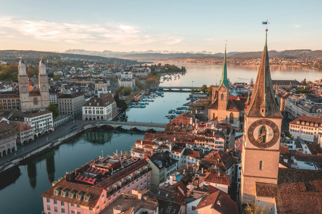
Switzerland may look compact on a map, but getting around feels very different once you start planning real routes. Mountain terrain, deep valleys, and scattered alpine villages shape how travel works here, often turning short distances into longer journeys. What seems close in kilometers can take hours once elevation and connections come into play.
Understanding how to get around Switzerland early helps avoid unrealistic itineraries and unexpected costs. This guide breaks down the real transport logic across the country, from trains and mountain lifts to cars and regional routes, so you can plan smarter transfers, choose the right bases, and avoid wasting time moving between places that look simple on paper but are not in practice.
Geography and Distances That Shape Travel
Switzerland is a mountainous country where geography defines logistics. The Alps dominate the southern and central regions, while flatter corridors run through cities like Zurich, Lucerne, Bern, and Geneva. This creates a split transport rhythm: fast and efficient along rail corridors, slower and more complex once you move into alpine valleys.
One key nuance is elevation. A direct line on the map may hide tunnels, switchbacks, or indirect routes through mountain passes. Journeys that look short often involve multiple connections, especially when reaching places like Zermatt, Interlaken, or the Jungfrau region, where terrain rather than distance becomes the main travel factor.
Comparing Ways to Get Around Switzerland
Trains
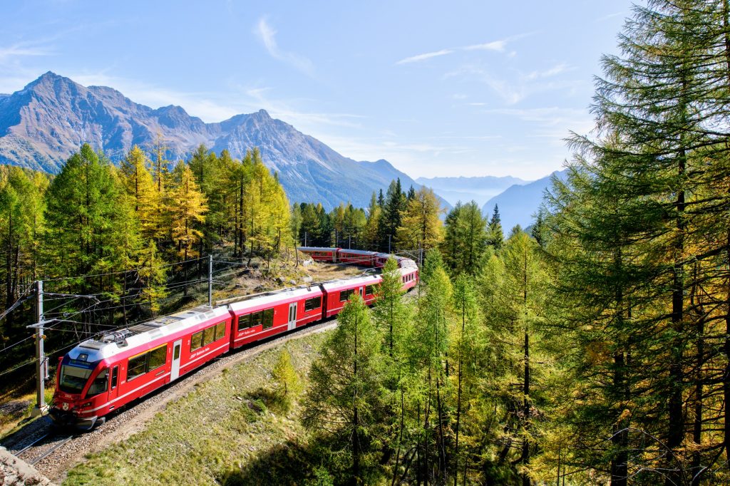
When it fits
City-to-city travel, scenic routes, most first-time itineraries
Pros
- Extremely reliable network
- Direct links between major bases
- Comfortable and scenic journeys
Cons
- High ticket prices without passes
- Limited reach in smaller valleys
- Busy panoramic routes in peak season
Rental Car
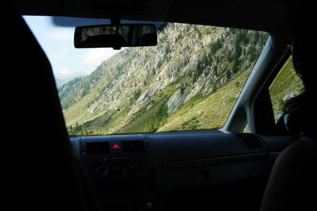
When it fits
Alpine regions, multi-base trips, remote villages
Pros
- Full flexibility in mountain areas
- Easier access to viewpoints and lakes
- Useful for off-rail regions
Cons
- Expensive rentals and parking
- Mountain driving experience needed
- Limited usefulness in major cities
Buses and Regional Transport
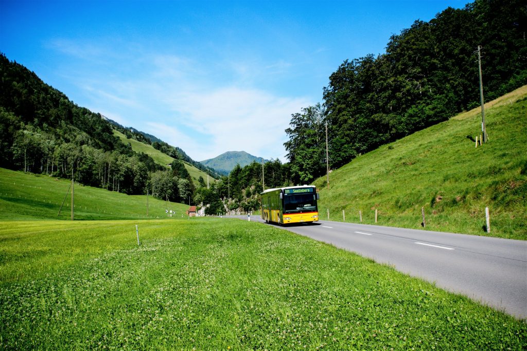
When it fits
- Villages beyond rail lines
- Short alpine connections
- Last-mile travel
Pros
- Extends rail coverage
- Reliable rural access
- Often well coordinated with trains
Cons
- Fewer departures in remote areas
- Slower travel times
- Limited late evening services
Cable Cars and Mountain Railways
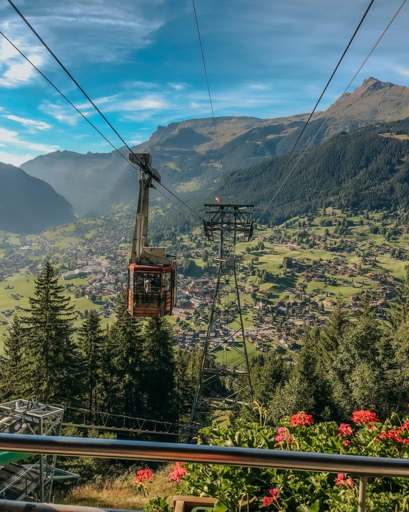
When it fits
Alpine viewpoints, hiking bases, ski regions
Pros
- Essential for reaching high-altitude areas
- Part of daily transport in mountains
- Spectacular access to scenery
Cons
- Weather dependent
- Expensive individual tickets
- Seasonal closures in shoulder months
Domestic Flights
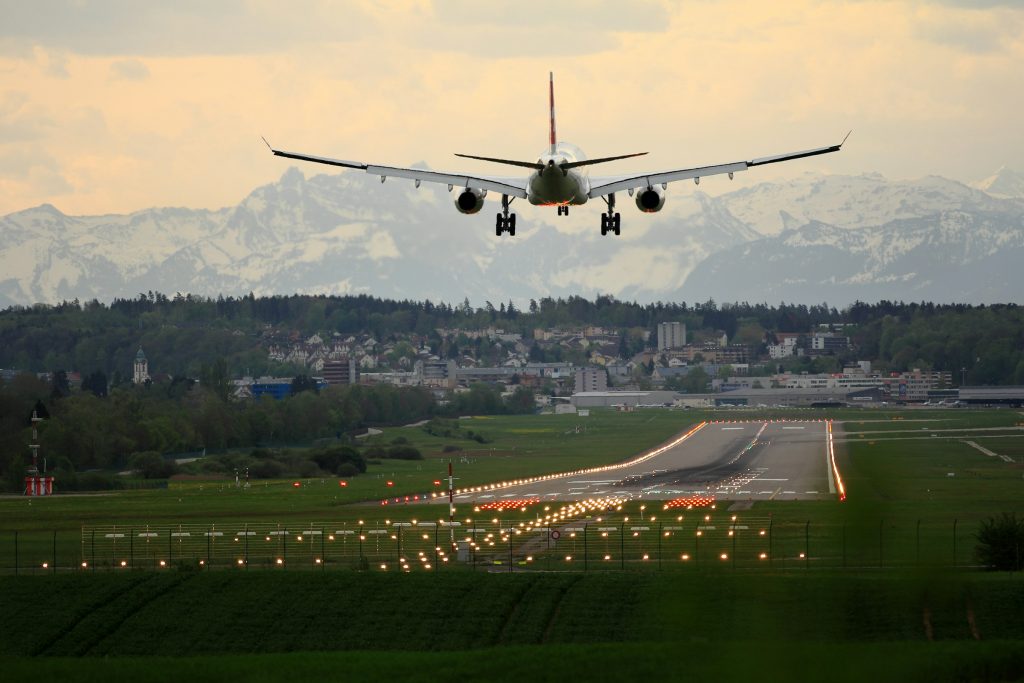
When it fits
Rarely needed within the country
Pros
Time saving only on very specific routes
Cons
- Minimal practical value
- Airports far from mountain regions
- Usually slower door-to-door than trains
Taxis and Ride Services
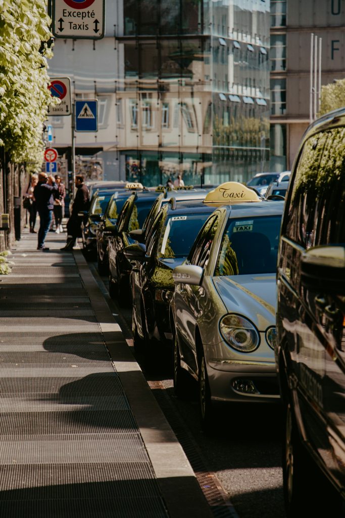
When it fits
Short transfers, late arrivals, station pickups
Pros
- Reliable and easy to find in cities
- Helpful with luggage
Cons
- Very expensive
- Limited outside urban areas
Tours and Private Transfers
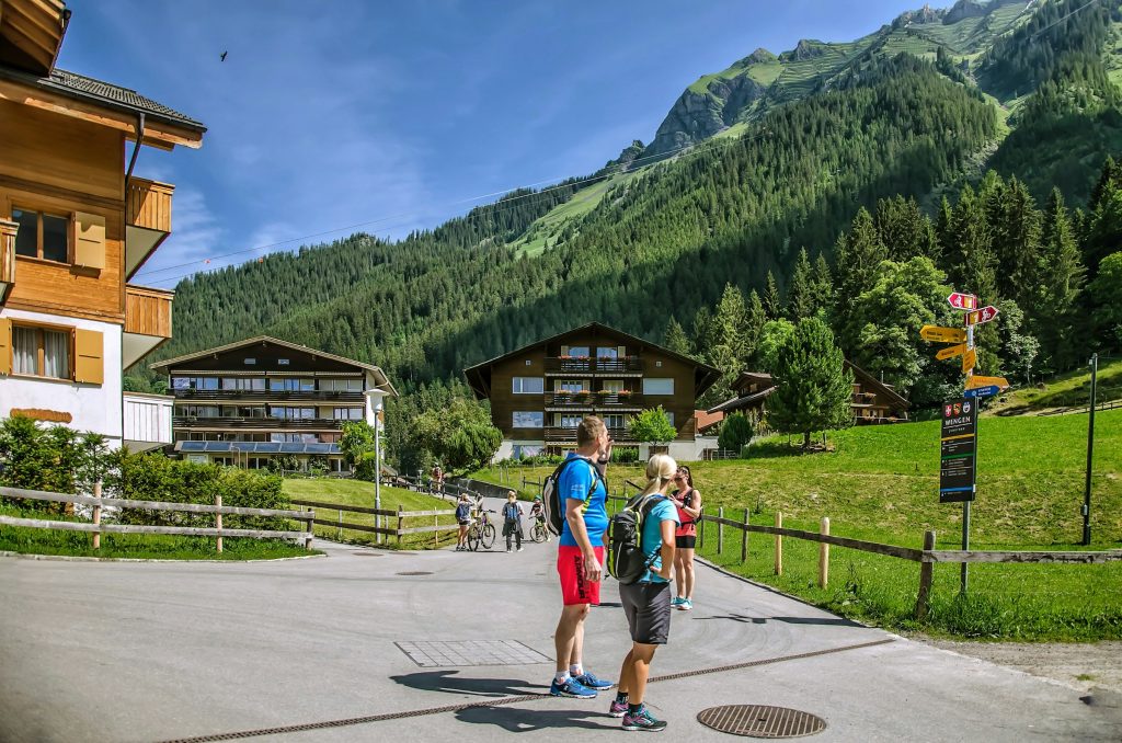
When it fits
Short stays, non-drivers, guided alpine trips
Pros
- No logistics planning required
- Direct access to scenic areas
Cons
- Higher cost per day
- Less flexibility than independent travel
Rental Car: Is It Worth It in Switzerland?
A rental car can be useful in Switzerland, but only in specific situations. The country’s rail system is so strong that many travelers overestimate how much they need a car. In cities and major alpine bases, trains usually outperform driving in both convenience and timing.
When a Car Makes Travel Easier
Driving becomes more practical in regions where public transport thins out. Areas like smaller alpine valleys, lake regions outside main rail hubs, and rural cantons often require multiple transfers by train and bus. A car can simplify logistics if you plan to explore places with limited rail access or want full flexibility for viewpoints and spontaneous stops.
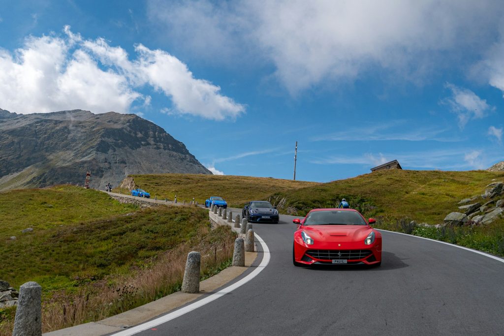
It also helps when traveling with heavy luggage or planning multi-stop alpine routes where connections would otherwise consume time.
When You Can Skip It
If your itinerary includes hubs like Zurich, Lucerne, Interlaken, or Geneva, a car is rarely necessary. These bases are well connected by frequent trains and mountain lifts. Driving into historic centres can also be inconvenient due to restricted zones and limited parking.
Many travelers use a hybrid strategy: trains between major bases and a short car rental only in regions where flexibility matters.
License, Age, and Insurance Basics
Most visitors can rent a car with a standard national driving license, though some rental companies may request an International Driving Permit depending on origin. Minimum age is usually 21, with additional fees for younger drivers. A credit card in the driver’s name is required for the deposit.
Basic insurance is typically included, but extra coverage is common because of mountain roads and higher repair costs in Switzerland.
Parking, Tolls, and Driving Conditions
City parking can be expensive and limited, especially in Zurich and Geneva. Many towns rely on paid street zones or underground garages. Unlike some European countries, Switzerland does not have widespread toll booths, but highways require a vignette sticker, which is normally included in rental cars.
Driving conditions are excellent overall, but alpine roads can be narrow and winding. Weather plays a major role in winter, with snow chains sometimes required in higher regions.
Choosing the Right Vehicle
Compact cars are ideal for narrow streets and easier parking. Mid-size cars offer more comfort for longer drives. SUVs are useful in winter or higher alpine areas but are rarely essential in summer. Automatic cars are less common and should be booked early if preferred.
For most itineraries, renting only when needed rather than for the entire trip keeps costs and stress lower.
Public Transport: How to Make It Work Smoothly
Public transport is the backbone of travel in Switzerland and often the most efficient way to move between cities and alpine regions. Trains, regional buses, lake boats, and mountain railways are tightly integrated, making transfers predictable and easy to manage once you understand how the system works.
What Exists and How Practical It Is
Intercity trains connect major hubs like Zurich, Lucerne, Bern, and Geneva with high frequency and punctuality. Regional trains and PostBus routes extend coverage into valleys and smaller towns. In mountain regions, cable cars and cogwheel railways function as part of the daily transport network rather than tourist extras.
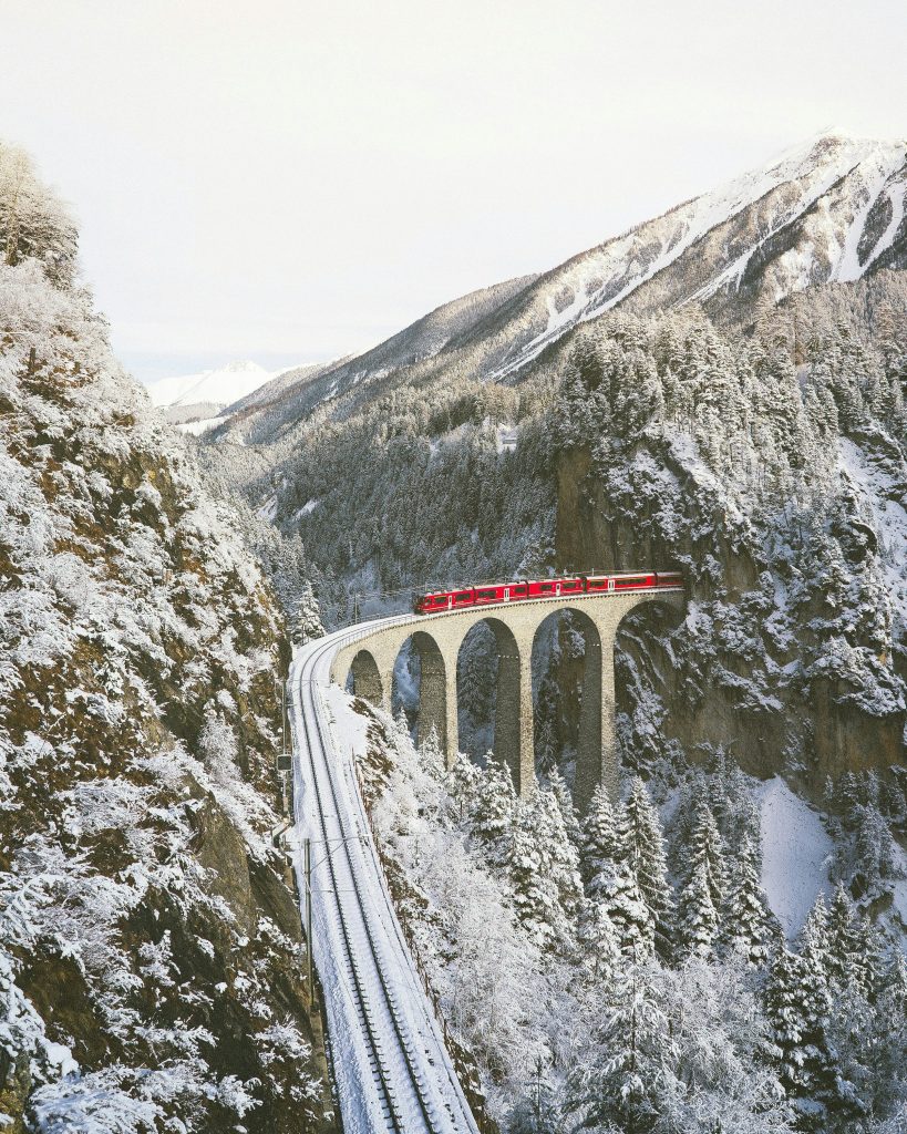
Coverage is excellent overall, but travel slows once you leave main rail corridors. Remote villages often require one or two connections beyond the nearest rail hub.
Buying Tickets and Planning Ahead
Tickets can be bought online, via the SBB Mobile app, at station machines, or counters. The SBB app is the most useful planning tool, showing real-time platforms, delays, and transfer timing. Digital tickets are standard and easy to use across trains, buses, and boats.
For panoramic trains and popular alpine routes, reserving seats in advance is recommended during peak seasons.
Passes and Discount Cards
Transport passes can significantly affect your budget. The Swiss Travel Pass includes unlimited travel on most trains, buses, and boats, plus discounts on mountain lifts. It works well for fast-paced itineraries with frequent transfers.
For slower trips, half-fare cards or point-to-point tickets can be cheaper. Switzerland often rewards planning rather than defaulting to one universal pass.
Limitations to Know
Late evening departures are less frequent outside major corridors, and some rural routes have reduced Sunday schedules. In alpine regions, certain cable cars and seasonal routes pause during shoulder months.
Connections are usually reliable, but tight transfers in mountain areas can feel rushed, so adding small buffers helps keep travel stress low.
Mountain Travel and Seasonality
Mountain regions follow a very different travel logic than Swiss cities. Elevation, weather, and lift infrastructure shape how routes work, often making short distances feel longer in practice. Travel time is defined less by kilometers and more by terrain, connections, and operating windows.
How Alpine Transport Works
Most alpine routes follow a layered structure. A typical journey includes a mainline train to a valley hub, a regional train or PostBus deeper into the mountains, and a final ascent by cable car or cogwheel railway. This multi-step system is normal across the Alps and usually runs with precise timing.
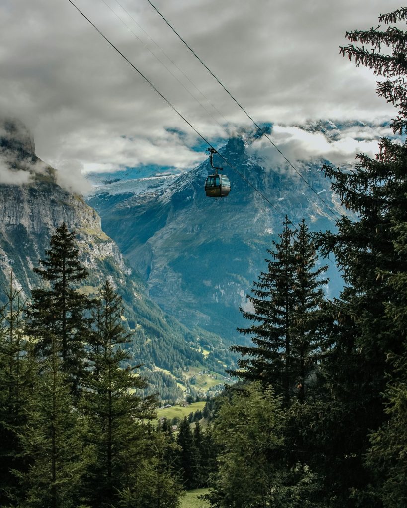
Several famous destinations are largely car-free. Places like Zermatt, Wengen, and Mürren restrict private vehicles, meaning access relies entirely on trains and lifts. In these areas, mountain transport is not an attraction but a core part of everyday mobility.
Lift Networks and Real Costs
Cable cars and mountain railways are essential for reaching viewpoints, hiking areas, and ski zones. However, they are one of the biggest cost factors in Switzerland. Individual return tickets to high-altitude areas can be expensive, especially in regions like Jungfrau or Matterhorn.
Many transport passes include partial discounts, but not always full coverage, so checking what is included before planning high-altitude trips can prevent budget surprises.
Seasonal Differences
Summer provides the most flexibility. Most lifts operate daily, hiking buses run regularly, and mountain passes remain open. This is the easiest time for complex alpine routing.
Shoulder seasons are more unpredictable. Late spring and late autumn often bring maintenance closures, reduced lift schedules, and limited transport in higher regions. Some routes technically exist but run only a few days per week.
Winter shifts the system again. Snow can close high passes, while ski resorts activate dedicated train and shuttle links. Travel becomes very reliable in ski corridors but more limited in non-ski alpine areas.
Planning Around Weather
Weather has a stronger impact in the Alps than in Swiss cities. Wind, fog, and snowfall can affect lift operations and visibility, especially above the tree line. Even when transport runs normally, views may disappear completely in poor conditions.
Checking forecasts shortly before departure is essential for high-altitude trips. Adding buffer time also helps, as missing a mountain connection can mean waiting hours for the next lift or train in less connected regions.
Example Routes, Travel Time, and Budget Reality
Seeing how transport works in real scenarios makes planning easier. Switzerland is compact, but travel costs and timing vary widely depending on how many regions you include and how often you move between bases.
3–5 Days, No Car
Who it fits
Short trips, first-time visitors, train-focused travel
Route logic
One main base such as Lucerne or Interlaken with day trips
Time reality
Zurich to Lucerne takes under an hour. Lucerne to Interlaken about two hours with one transfer. Most alpine day trips stay within 1–2 hours each way.
Highest cost factor
Scenic trains and mountain lifts
How to save
Stay in one base and use regional passes or half-fare discounts.
7-Day Classic Switzerland
Who it fits
First-time visitors wanting variety
Route logic
Two bases, often Lucerne plus Interlaken or Zermatt
Time reality
Lucerne to Interlaken takes around two hours. Interlaken to Zermatt about 2.5–3 hours with transfers. Most intercity moves take half a day door-to-door.
Highest cost factor
Mountain transport and intercity trains
How to save
Limit base changes and book panoramic routes early if needed.
Scenic Alps Focus
Who it fits
Nature-focused trips, slow travel style
Route logic
One alpine base with surrounding mountain excursions
Time reality
Mountain lifts and cogwheel trains often take 30–90 minutes each way. Even short map distances can take half a day due to elevation changes.
Highest cost factor
Cable cars and peak viewpoints
How to save
Choose fewer high-altitude excursions and prioritize included routes with travel passes.
10–14 Day Multi-Region Loop
Who it fits
Return visitors or longer holidays
Route logic
Three bases such as Zurich, Interlaken, and Zermatt or the Lake Geneva region
Time reality
Most cross-country transfers take 2–4 hours. Travel days are manageable but still reduce sightseeing time if overpacked.
Highest cost factor
Frequent long-distance trains and repeated lift use
How to save
Space out transfers and avoid changing bases too often.
Useful Apps and What to Check Before You Go
A few tools can make getting around Switzerland significantly easier, especially when combining trains, mountain lifts, and regional connections.

Maps and Navigation
Google Maps works well for walking and basic driving routes, but for public transport the SBB Mobile app is far more accurate. It shows real transfer timing and platform details that generic maps often miss. Download offline maps if you plan to travel through alpine regions where signal can drop.
Transport Schedules
SBB Mobile provides real-time platforms, delays, and transfer coordination across trains, buses, and boats. In mountain regions, always check the official website of the cable car or resort, as lift schedules change frequently depending on season and weather.
For panoramic trains like the Glacier Express or Bernina routes, official operator sites provide the most accurate seat availability and reservation rules.
Buying Tickets
Digital tickets are standard across Switzerland and work seamlessly between transport types. The SBB app allows you to plan routes, buy tickets, and store them offline, which simplifies multi-leg journeys.
Seat reservations are usually unnecessary for regular trains but are recommended for scenic routes and peak travel months. Buying tickets in advance can also help manage costs on longer journeys.
Passes and Real-Time Updates
If using a Swiss Travel Pass or half-fare card, keeping it saved digitally avoids repeated checks. The SBB app also reflects discounts automatically when logged in.
Before longer travel days, check live updates in the morning. Swiss transport is very reliable, but alpine weather, maintenance work, or seasonal lift closures can still affect mountain segments.
Official Sources to Trust
For last-minute accuracy, rely on official railway sites, regional transport operators, and mountain resort pages. Tourist offices in major hubs like Zurich or Lucerne can also provide simple printed maps with current transport updates, which can be helpful in alpine areas with limited connectivity.
Making Switzerland Easy to Navigate
The best way to get around Switzerland depends on how well your transport matches the landscape. Trains handle most journeys quickly and comfortably, especially between major hubs and alpine gateways. Mountain transport then takes over, with cable cars and regional railways linking valleys to high-altitude destinations.
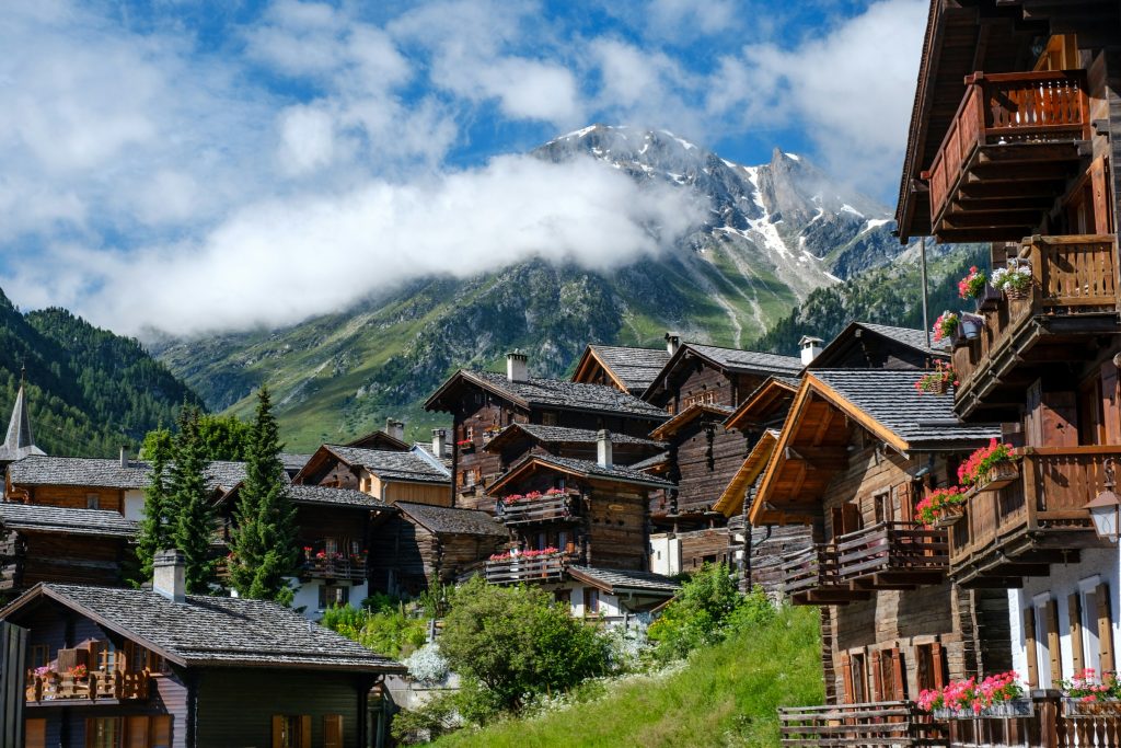
Switzerland rewards simple routing. Fewer bases, well-planned transfers, and realistic travel times make a noticeable difference in both cost and comfort. Overloading an itinerary with constant moves often creates more stress than variety.
There is no single best way to get around Switzerland for every trip. The most efficient approach is usually a mix of strong rail connections and selective use of mountain transport or short car rentals where public coverage thins out. When logistics align with geography, traveling across the country feels smooth despite the challenging terrain.